At iTechLance IT, we provide accurate and comprehensive utility mapping services that bring clarity to critical underground and surface infrastructure—including electric, gas, sewerage, and telecom systems.
Our advanced utility mapping services provide complete visibility of electric, gas, sewer, and telecom networks—helping organizations improve safety, reduce risks, and streamline operations.
Our Services Include:
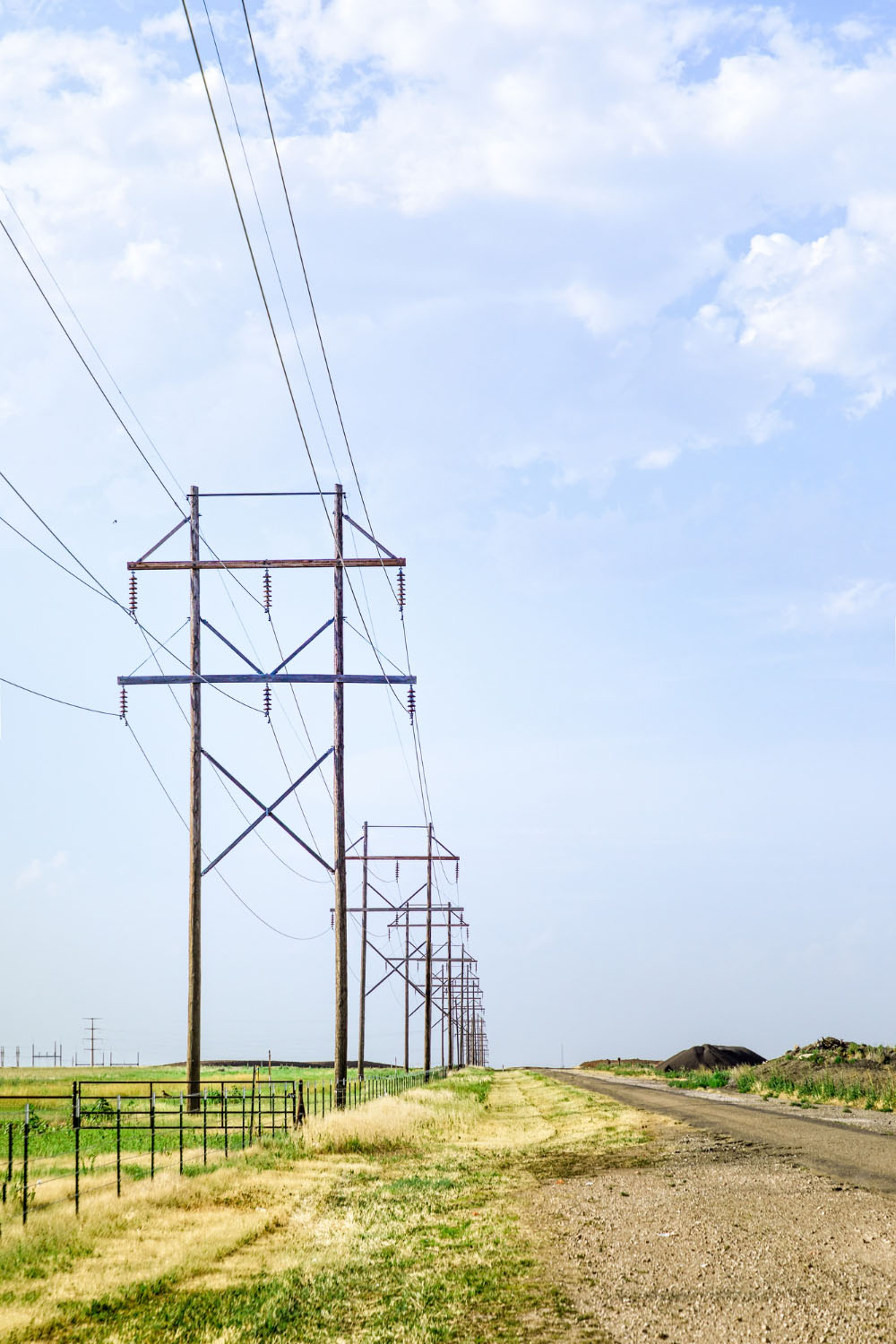
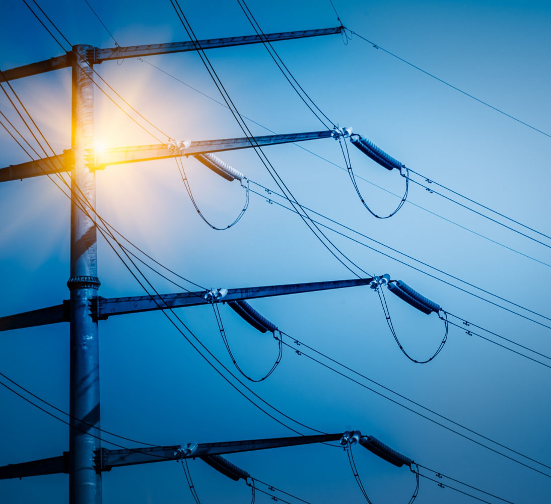
- Electric Utility Mapping
At iTechLance, our Electric Utility Mapping solutions empower utility companies to efficiently plan, monitor, and manage their infrastructure. From overhead transmission lines to underground cabling systems, our team uses cutting-edge GIS, GPS, and remote sensing tools to create accurate digital maps. These solutions support network expansion, reduce downtime, and ensure safety and compliance.
- Gas Utility Mapping
At iTechLance, our Gas Utility Mapping solutions deliver accurate spatial data for the design, monitoring, and management of gas distribution networks. From underground pipelines to above-ground installations, we create precise digital maps that improve network planning, minimize risks, and ensure regulatory compliance.
- Sewerage Utility Mapping
At iTechLance, our Sewerage Utility Mapping services provide detailed mapping of sewer lines, manholes, pumping stations, and treatment facilities. By leveraging GIS and GPS technologies, we help municipalities and utility providers improve infrastructure maintenance, reduce blockages, and ensure effective wastewater management.
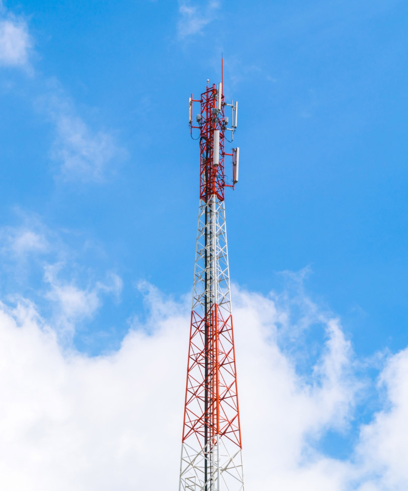
- Telecom Utility Mapping
At iTechLance, we specialize in Telecom Utility Mapping solutions designed to support the rapid growth of communication networks. Our expertise covers mapping of fiber optics, underground cables, telecom poles, and cellular towers. Through advanced geospatial technologies, we provide accurate and up-to-date digital maps that help telecom companies improve planning, streamline operations, and ensure reliable connectivity for customers.