iTechLance IT offers comprehensive Utility Mapping Services, combining GIS, survey, and CAD technologies to deliver precise maps of underground and above-ground utilities. Our solutions support efficient planning, maintenance, and expansion of utility networks.
We provide comprehensive utility mapping solutions to accurately capture and document electric, gas, sewerage, and telecom networks. Using GIS, GPS, and CAD technologies, our services deliver detailed, reliable maps that support planning, maintenance, and network optimization.
Our Key Services Include:
Utility Network Design and Drafting - Detailed 2D drawings for design, construction, and as-built documentation. Network Asset Mapping - Mapping electric, gas, sewerage, and water networks.
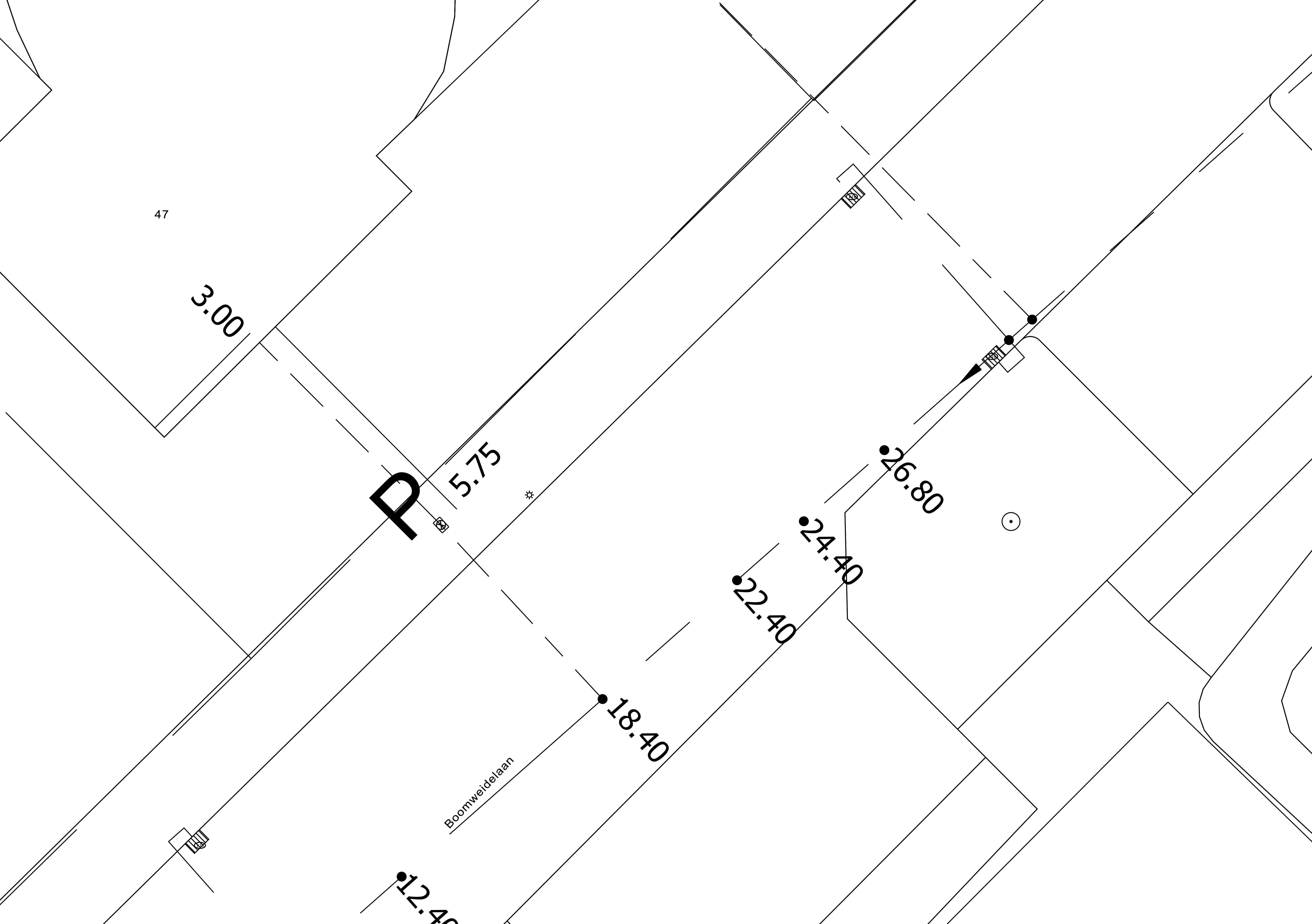
- Digitization of Distribution Network using Cadastral Maps – Digitizing electric, water, gas, and sewerage networks for GIS integration.
- Vectorization of the Network on the Cadastral Maps – Converting paper or scanned maps into precise digital layers.
- Electric Utility Mapping – Precise mapping of power lines, transformers, and substations.
- Gas Utility Mapping – Accurate documentation of pipelines and associated infrastructure.
- Sewerage Utility Mapping – Mapping of sewer networks, manholes, and drainage systems.
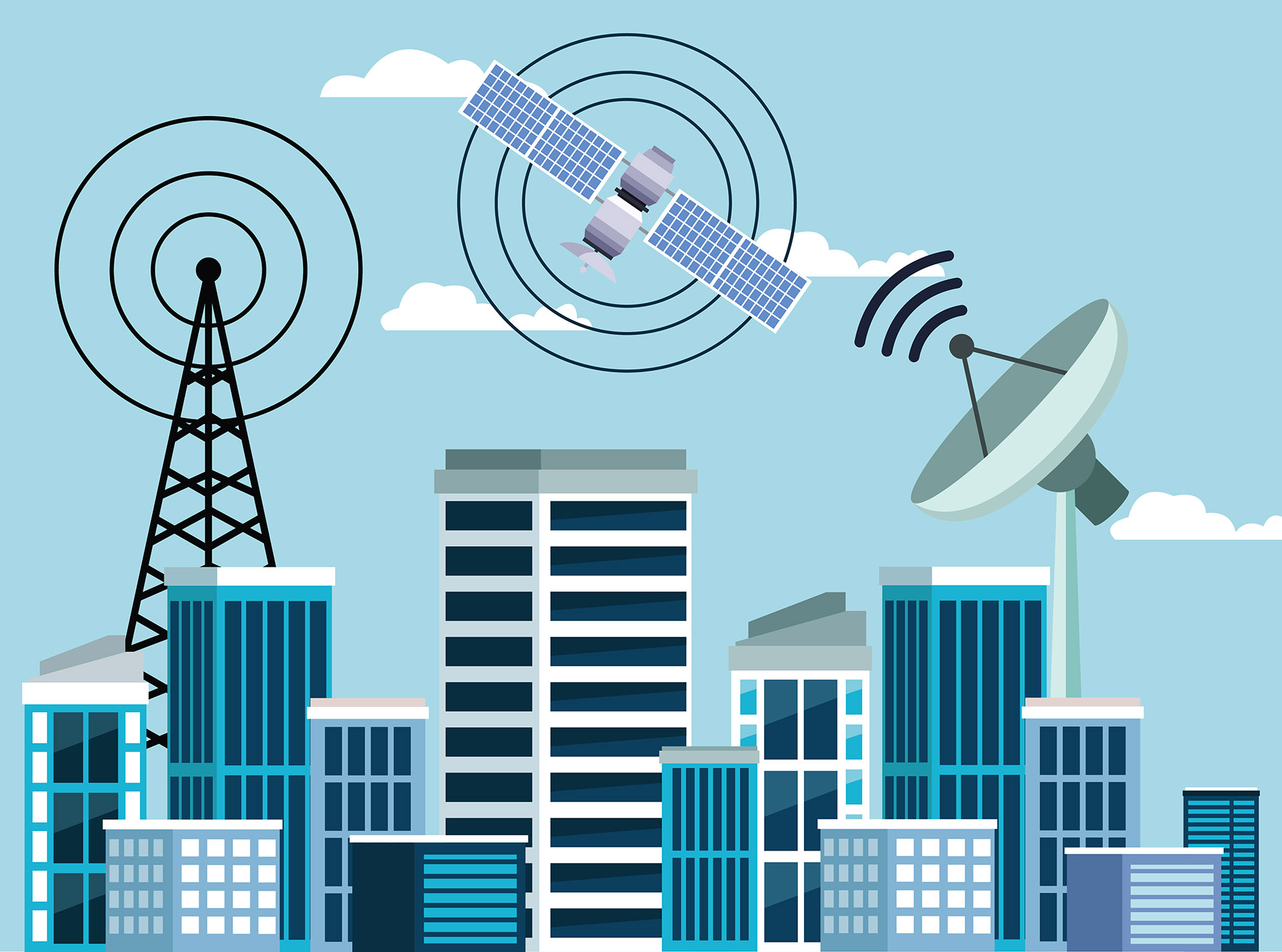
- Telecom Utility Mapping – Mapping fiber optics, cables, ducts, and telecom poles.
- 3D Visualization & CAD Integration – Convert survey data into 3D models and CAD drawings for planning and management.


