iTechLance IT stands as a trusted provider of GIS, Photogrammetry, LiDAR, and Remote Sensing services, delivering accurate, high-quality geospatial solutions for a wide range of industries.
At iTechLance IT, we provide comprehensive geospatial solutions that empower clients to make informed decisions, optimize operations, and enhance project planning. Leveraging advanced technologies and skilled professionals, we transform raw data into accurate, actionable, and visually compelling insights.
Our Services Include:
- GIS Services
- Photogrammetry
- LiDAR Services
- Remote Sensing
- Point Cloud to CAD
- Utility Network Design and Drafting
- Network Asset Mapping
- Digitization of Distribution Network using Cadastral Maps
- Vectorization of the Network on the Cadastral Maps
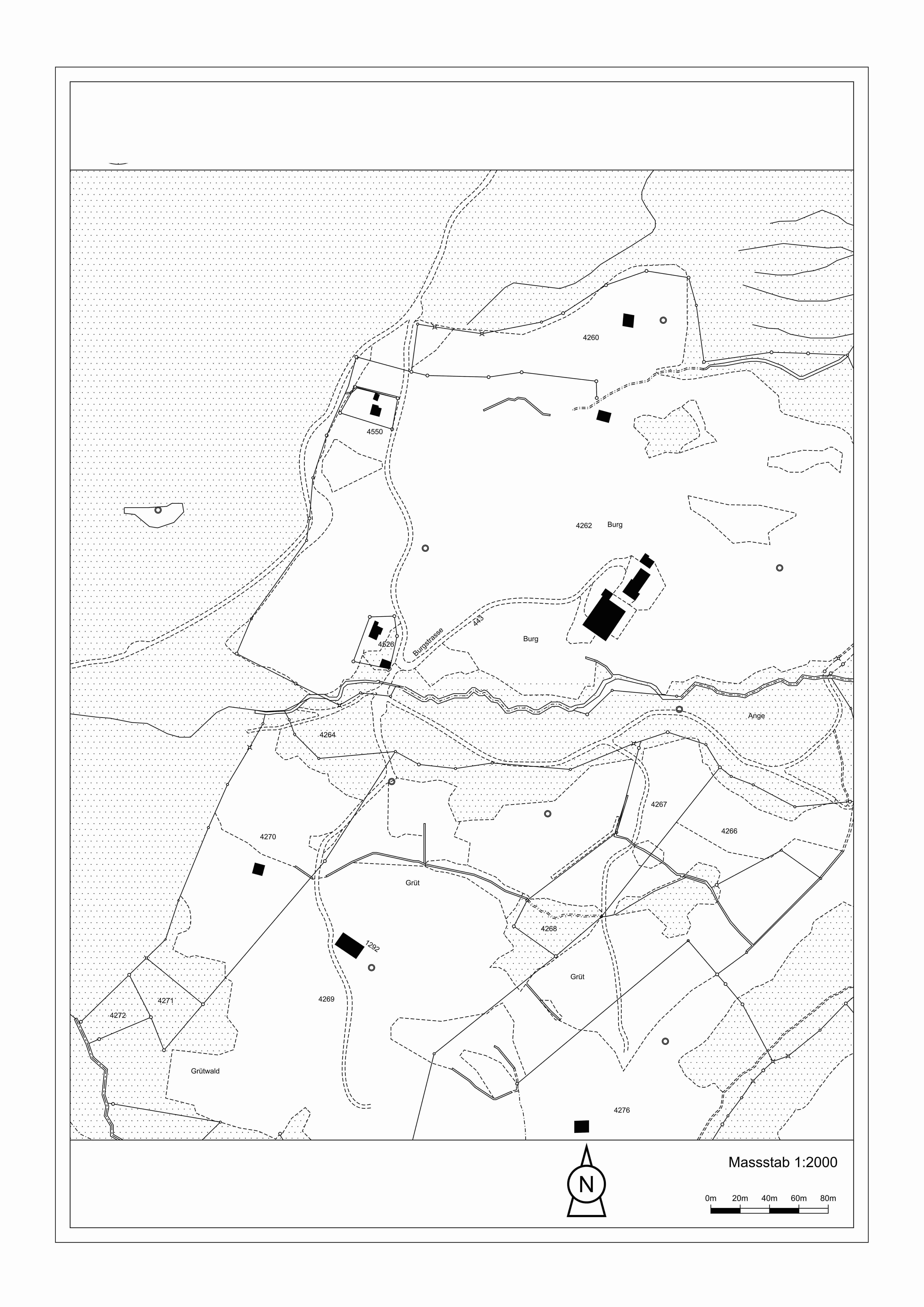
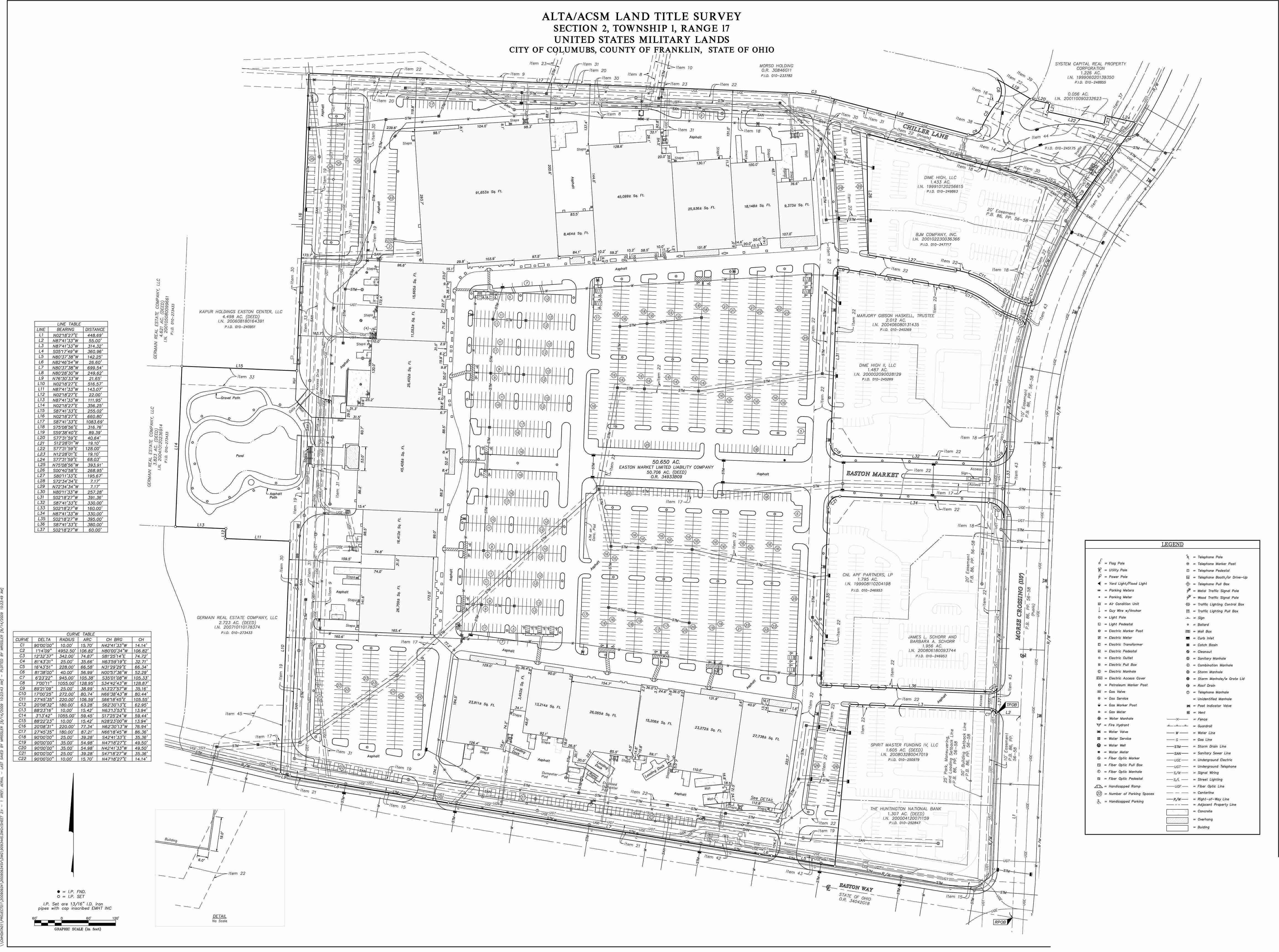
- Parcel Mapping
- Cadastral Mapping
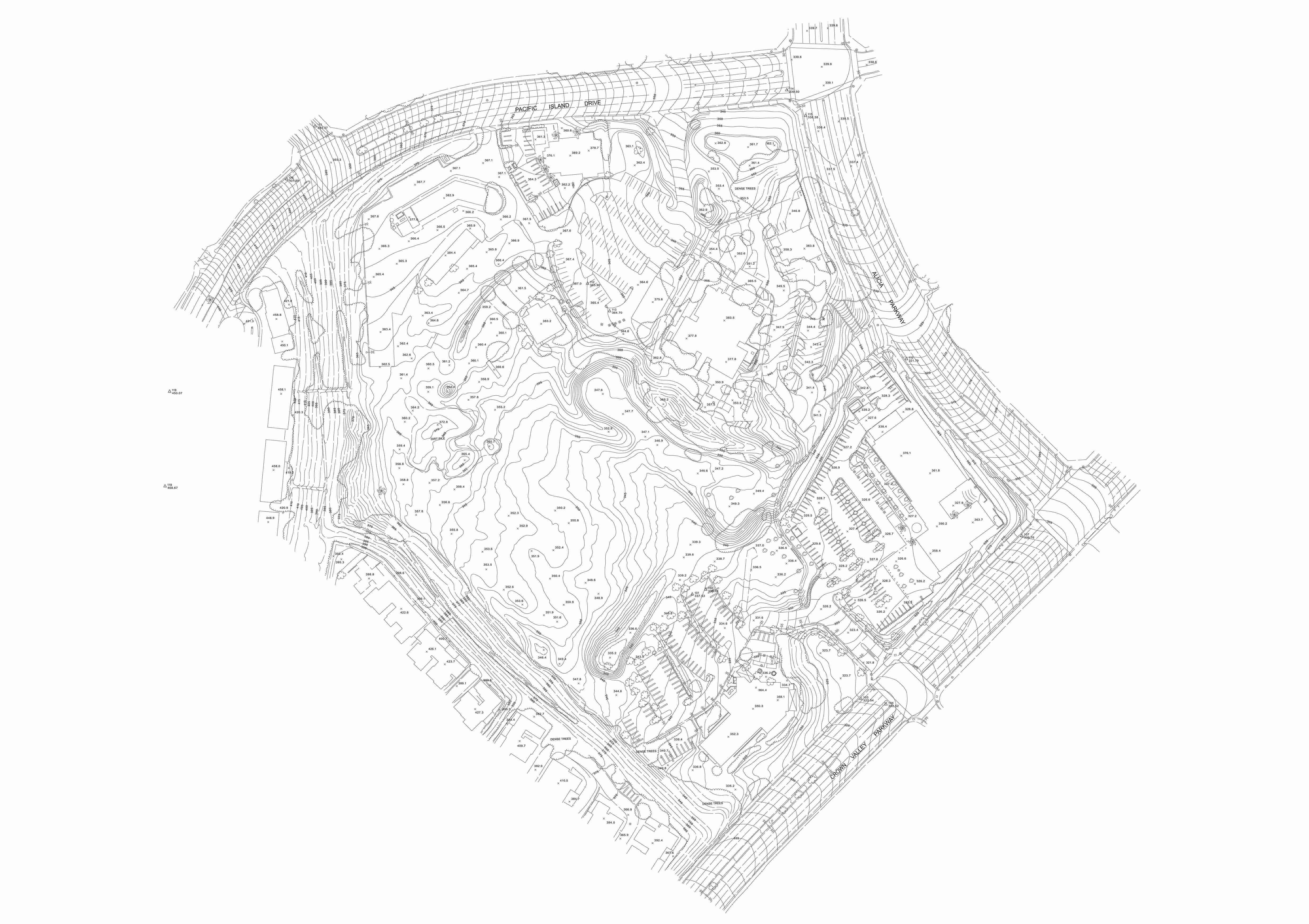
- Aerial Mapping
- Topological Mapping
- Digitization of 2D and 3D Manhole with UG Network
- Web Mapping
- Cartographic Mapping
- 3D Mapping
- Map Digitization
- Geo Referencing
By integrating cutting-edge technology, domain expertise, and quality assurance, iTechLance ensures precise, scalable, and industry-ready geospatial solutions for clients worldwide.