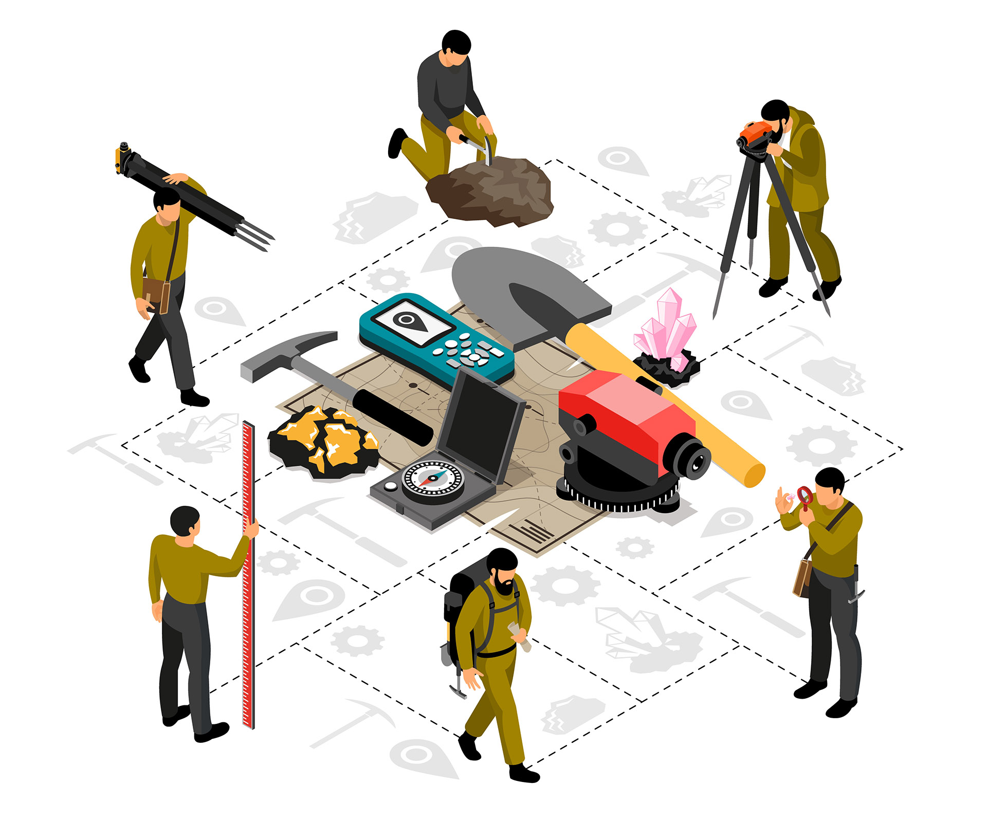
iTechLance IT specializes in Digital 3D Manhole Capturing, converting survey field notes into accurate 3D representations of underground utility cables and manhole details for planning, analysis, and asset management.
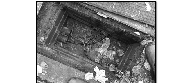
Our service converts field survey data into detailed 3D CAD representations of manholes and underground utility networks. By capturing accurate cable routes and infrastructure details, we support improved visualization, planning, and management of utility systems.
Our CAD Manhole Services Include:
- 3D Manhole Modeling – Creating precise 3D CAD representations of manholes.
- Underground Utility Mapping – Capturing and mapping cables, pipes, and conduits.
- Survey Data Conversion – Transforming field survey notes into accurate CAD drawings.
- As-Built Documentation – Developing CAD drawings reflecting the actual utility layout.
- Utility Network Visualization – 3D visualization of manholes and associated underground utilities.
- Planning & Analysis Support – Detailed CAD models to aid design, maintenance, and network planning.
- BIM Integration – Incorporating manhole CAD data into BIM models for comprehensive project coordination.